Tools
Up
Compartir esta página
Compartir por email Compartir en facebook Compartir en twitter Compartir en pinterest
SHARE
Reportar errores
Print
Destino Región de Murcia - Web Oficial

#intheregionofmurcia

you'll have the chance to see the oldest Aleppo pine in the world

Cargando página

Close

Close

Close

Cerrar foto
  • ACCOMMODATION
  • Accommodation search
  • Buscador de actividades
  • Buscador de paquetes
  • Flights Search Engine
  • Buscador de autobuses

SEARCH

For Free

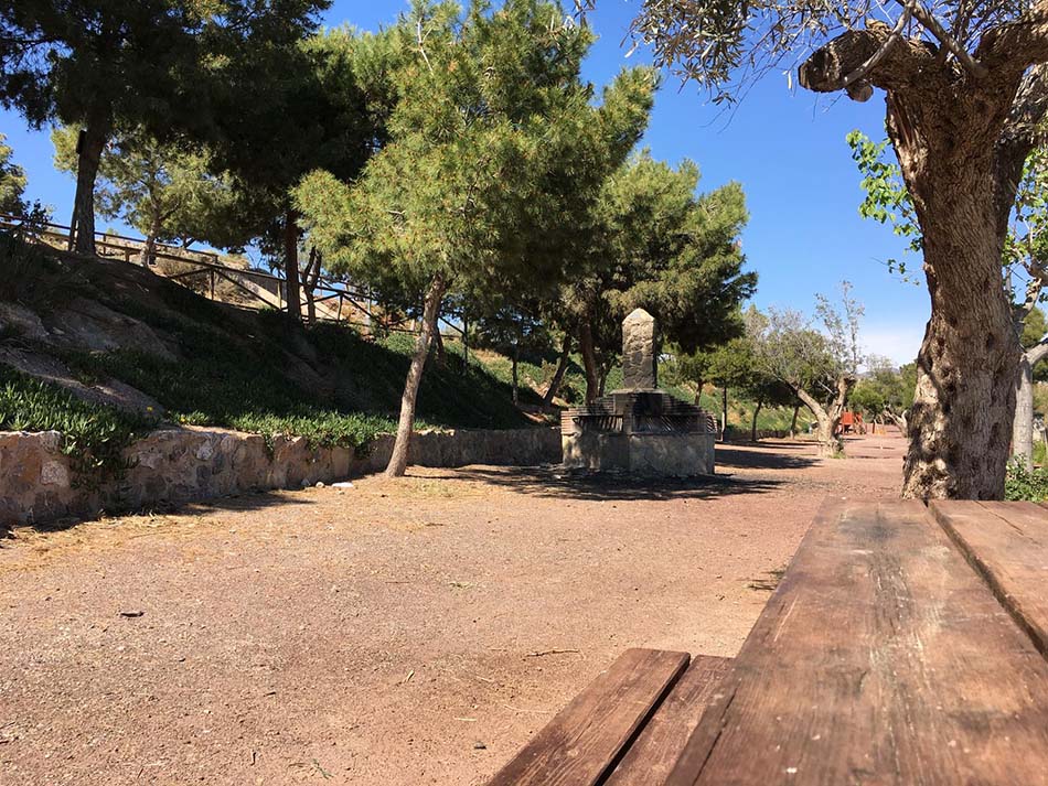
SENDERO CAMINO DEL AGUA (AGUILAS)

If you start walking along the region's pathways, you won't feel like stopping at all. Discover the Region of Murcia step by step or by rolling along. If you enjoy breathing fresh air and being surrounded by nature, this is your place.
HOME > WHAT TO DO > NATURE > PATHWAYS > SENDERO CAMINO DEL AGUA (AGUILAS)
DATOS TÉCNICOS
DISTANCE 21,402 KM
DESNIVEL DE SUBIDA 454 M
DESNIVEL DE BAJADA 81 M
ALTURA MÁXIMA 387 M
ALTURA MÍNIMA 5 M
DESCARGAR GPX / KML
NÚMERO DE VISITAS 873
ACTUALIZADO 03/11/2022
MIDE 
MEDIO
3
ITINERARIO
2
DESPLAZAMIENTO
2
ESFUERZO
3
OTROS SENDEROS CERCANOS
¿ QUÉ TAL TU EXPERIENCIA ?
EXAMINAR
REMARKS
Centro de Cualificación Turística de la Región de Murcia
SENDEROS DE LA REGIÓN DE MURCIA
Address
CP Localidad
Tel. 000 000 000
SENDEROS AVALADOS POR LA FEDERACIÓN ESPAÑOLA DE DEPORTES DE MONTAÑA
Y ESCALADA (FEDME) Y LA FEDERACIÓN DE MONTAÑISMO DE LA REGIÓN DE MURCIA (FMRM)
Costa Cálida
© Instituto de Turismo de la Región de Murcia
SENDEROS DE LA REGIÓN DE MURCIA
Address
CP Localidad
Tel. 000 000 000
SENDEROS AVALADOS POR LA FEDERACIÓN ESPAÑOLA DE DEPORTES DE MONTAÑA Y ESCALADA (FEDME) Y LA FEDERACIÓN DE MONTAÑISMO DE LA REGIÓN DE MURCIA (FMRM)
Costa Cálida